
Queensland Term Abroad
New Zealand
Ruapehu and the Desert Road
Volcanologist Peter Otway took us on a tour around Tongariro National Park, including stops showing some of the complex history of eruption in the park and the ongoing threat of lahar flows out of the crater lake. We spent much of our time on the eastern or "desert" flank of Ruapehu. The landscape is somber, but beautiful. The entire area was deforested in a catastrophic eruption about 2000 years ago. For unknown reasons, the vegetation has never come back.
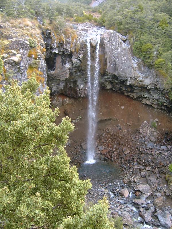
Waterfall coursing over the edge of one of many lava flows from Ruapehu. Note red pumice and ash below flow. Waterfall height about 20 - 25 meters.
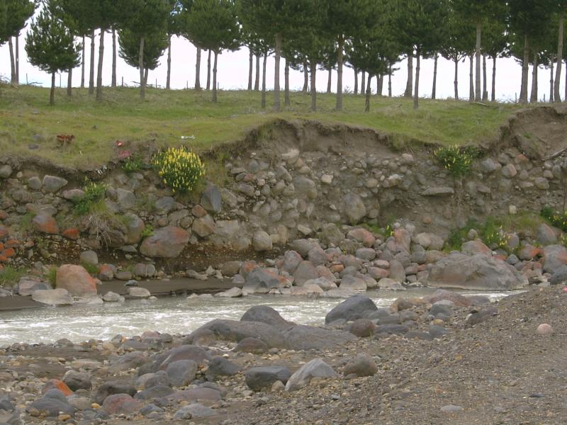
Old lahar deposits near site of Christmas Eve train disaster. In a nutshell, there was a catastrophic mud flow, or lahar, emptied out of Ruapehu's crater lake on Christmas Eve in 1953. The torrent destroyed the railroad bridge at Tangiwai. The Wellington-Auckland train plunged into the river, killing 151 people. Click here for more information.
The sun was bright on this side of Ruapehu.
Lava flow evident on opposite valley wall. The valley has been enhanced by glaciers.
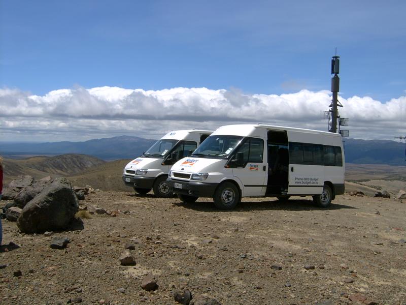
Looks like a Budget ad. Actually, the size of the boulders these things can drive over would amaze you. The radio tower is part of the lahar warning system.
The terrain looks a little like Mars.
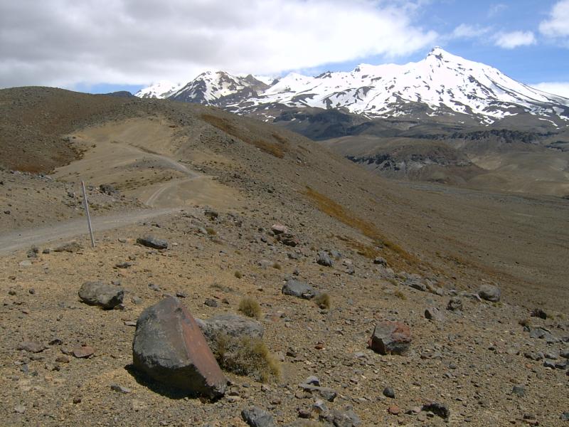
We continued up the road. Farther on, it was more like the suggestion of a road.
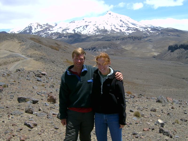
Becky and yours truly.
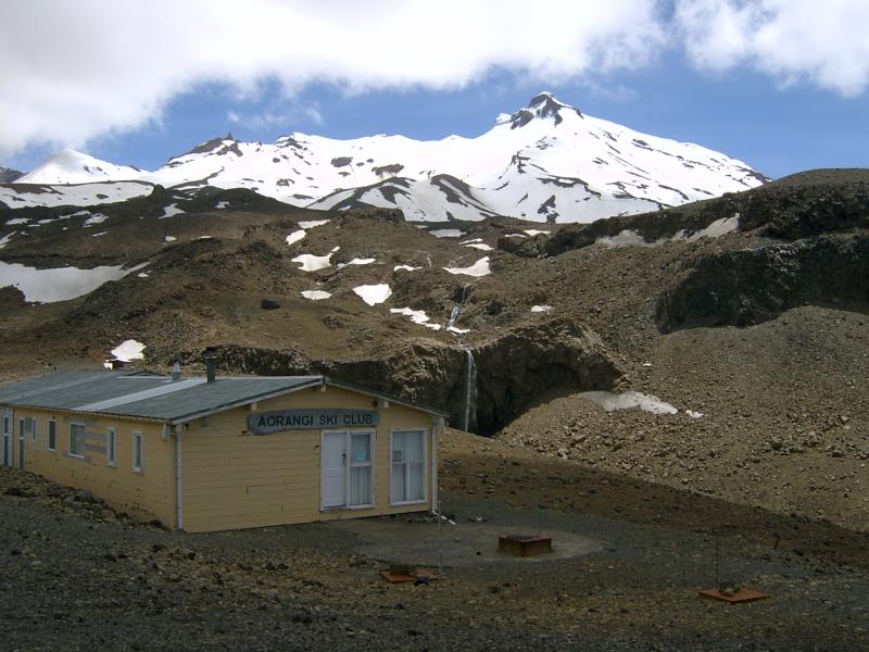
The "road" ends at a rustic ski club. Again, the scale is deceptive. The waterfall in the background is maybe 30 meters (about 100 feet) or more high.
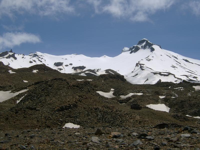
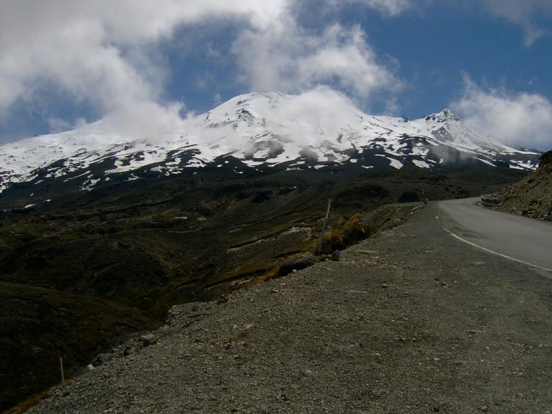
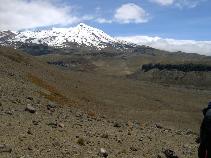
Mighty Ruapehu from the east.
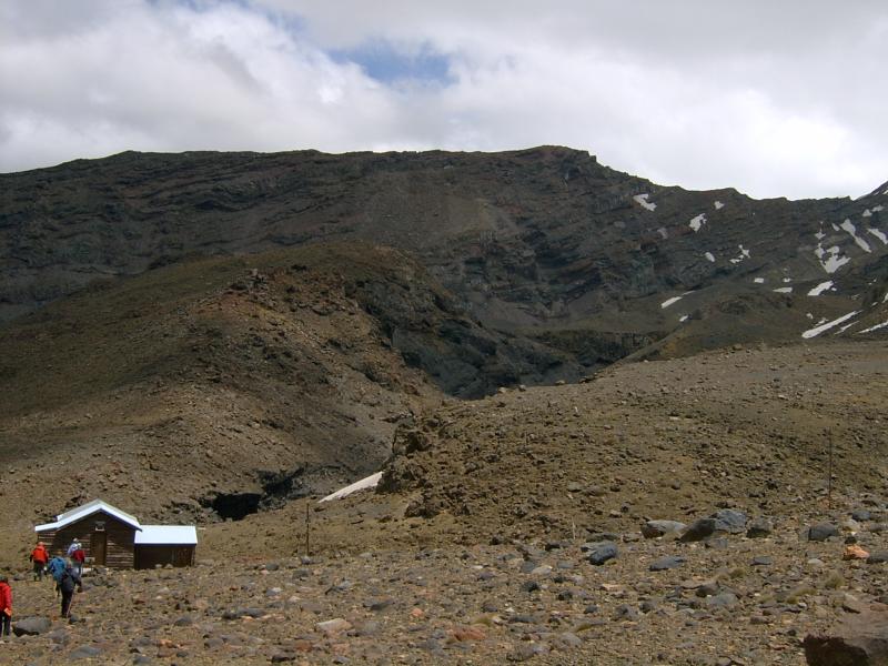
We moved over to see the main lahar canyons. This area is all ski-slopes, if you can believe it.
Jagged canyon
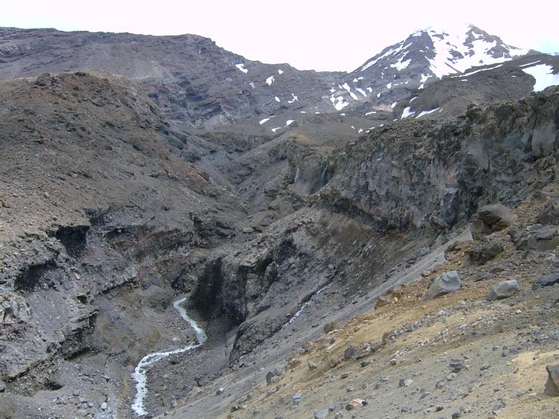
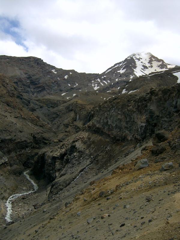
This is one of the main lahar conduits. There's a lot going on here geologically.
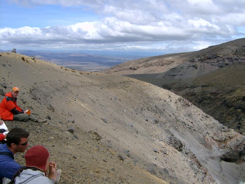
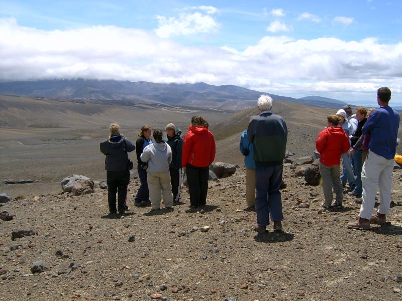
View to east.
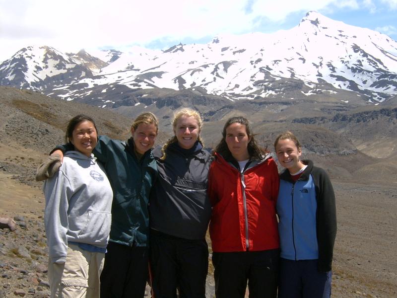
Joe contemplates the glory of nature.
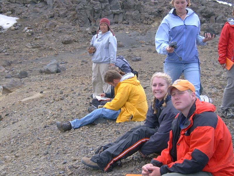
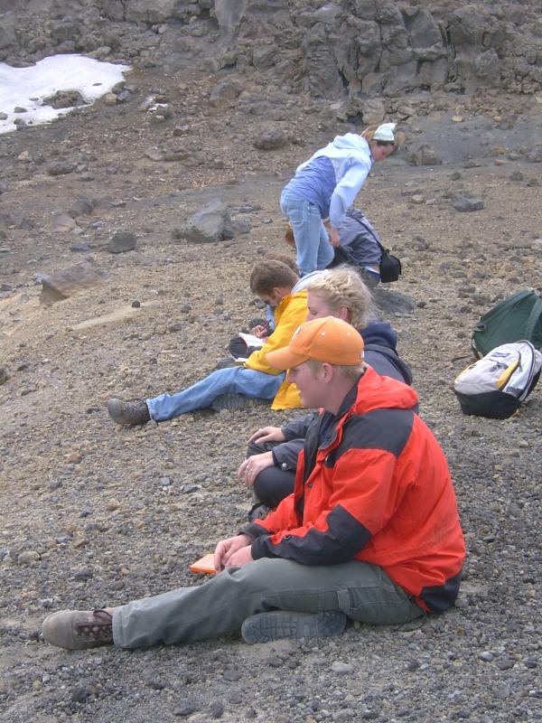
Something's afoot.
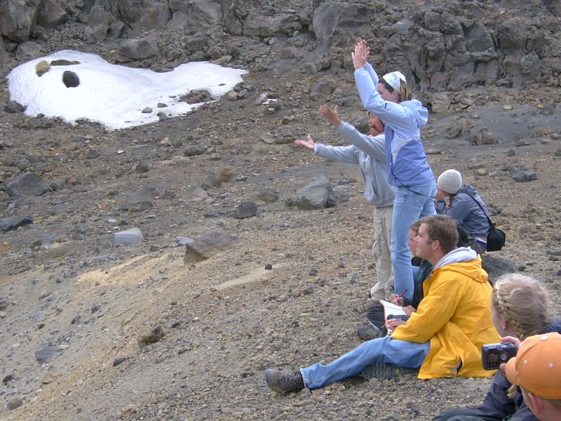
Two more rocks condemned to a life of grime.
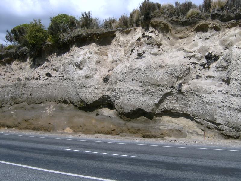
Taupo pumice records gigantic eruption 2000 years ago. Black chunks within white are carbonized trees. The eruption obliterated everything, including a large forest, in its path.
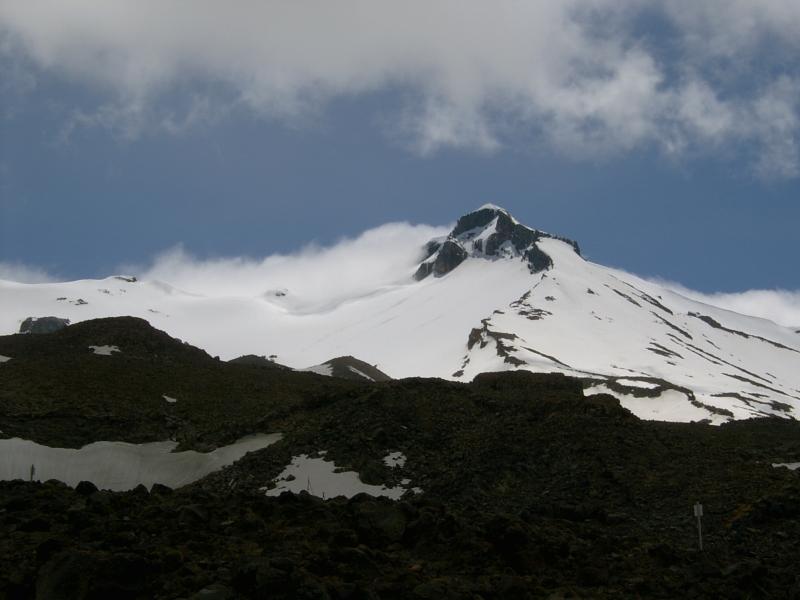
Ruapehu broods above us.