
Queensland Term Abroad
New Zealand
Tongariro Crossing Part I
Images from the most famous day hike in New Zealand, the Tongariro Crossing. The Crossing is a strenuous 17 km trek up the shoulder of Mt Tongariro, skirting the base of Mt Ngauruhoe (LOTR's Mt. Doom), passing Red Crater, Tongariro's active vent, then down the northern slope. It's a fantastic hike.
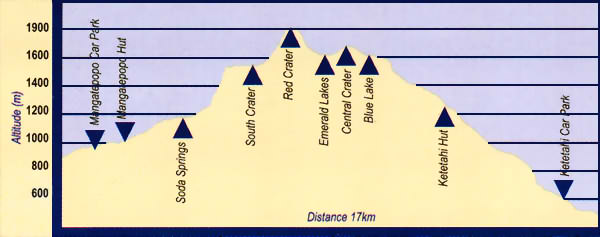
Gradient plot for Tongariro Crossing. Elevation is in meters. We started at Mangatepopo Car Park, the leftmost triangle in the plot.
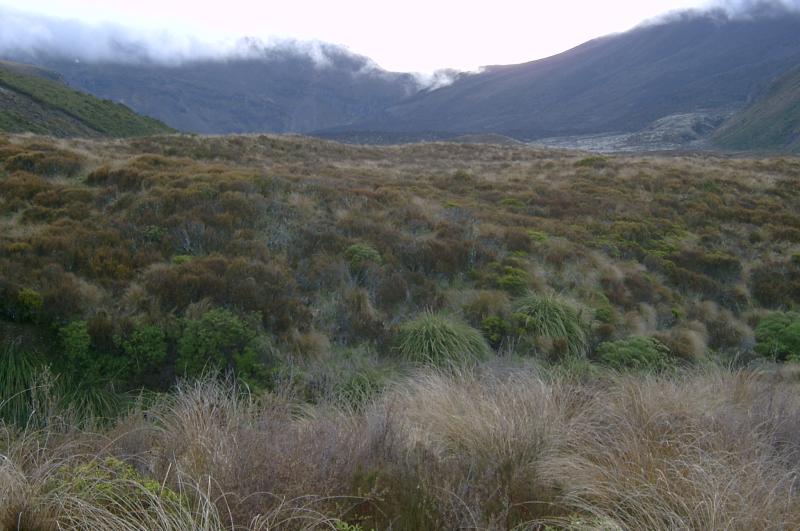
Starting up the Mangatepopo valley
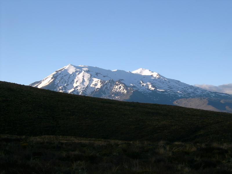
View back the other direction toward Ruapehu
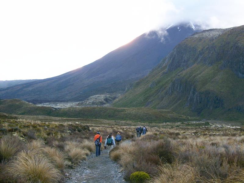
Ngauruhoe's base straight ahead
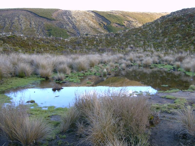
Small tarn surrounded by alpine vegetation.
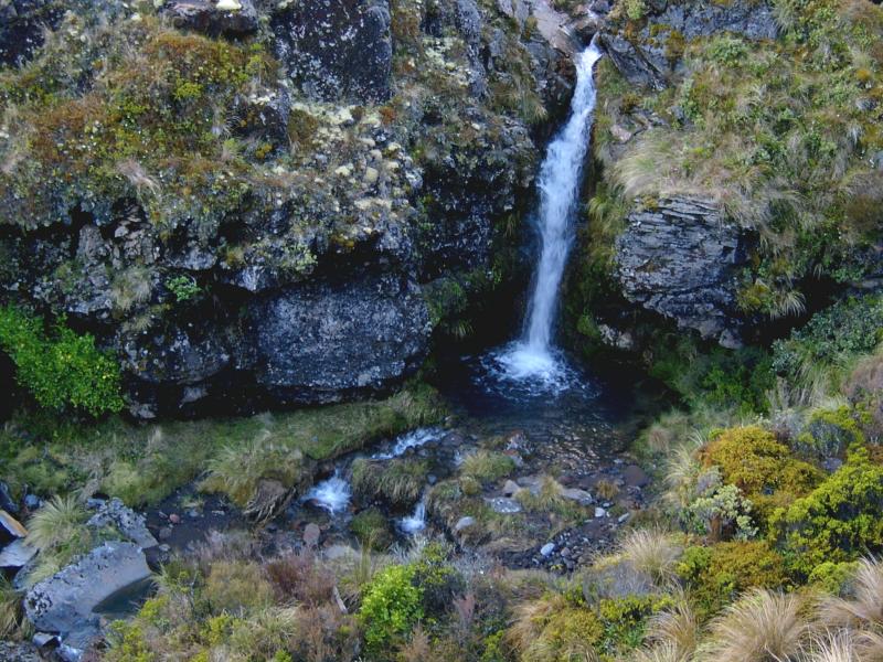
Trailside waterfall
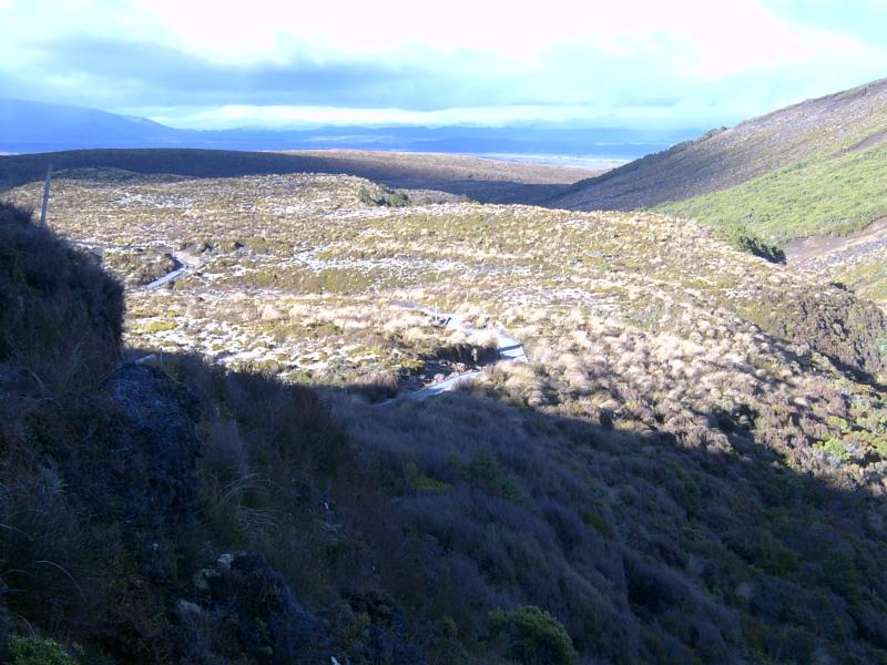
View back down Mangatepopo valley. The sunlit plateau is an ancient lava flow.
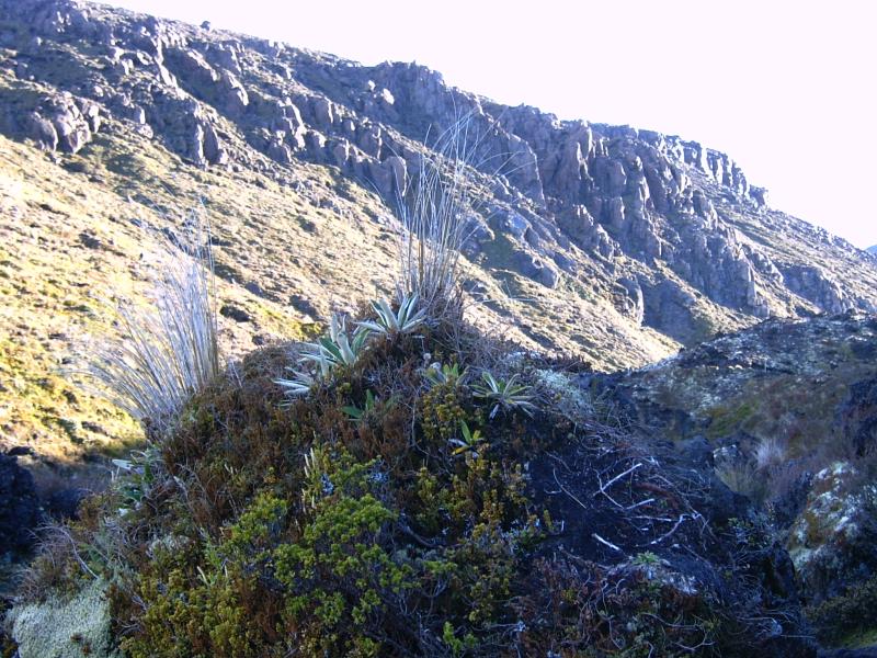
Alpine plants with ancient lava flow behind. There are a series of these flows stacked atop each other.
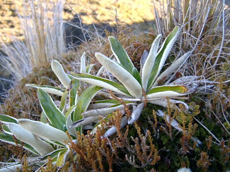
Alpine plants
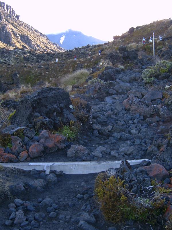
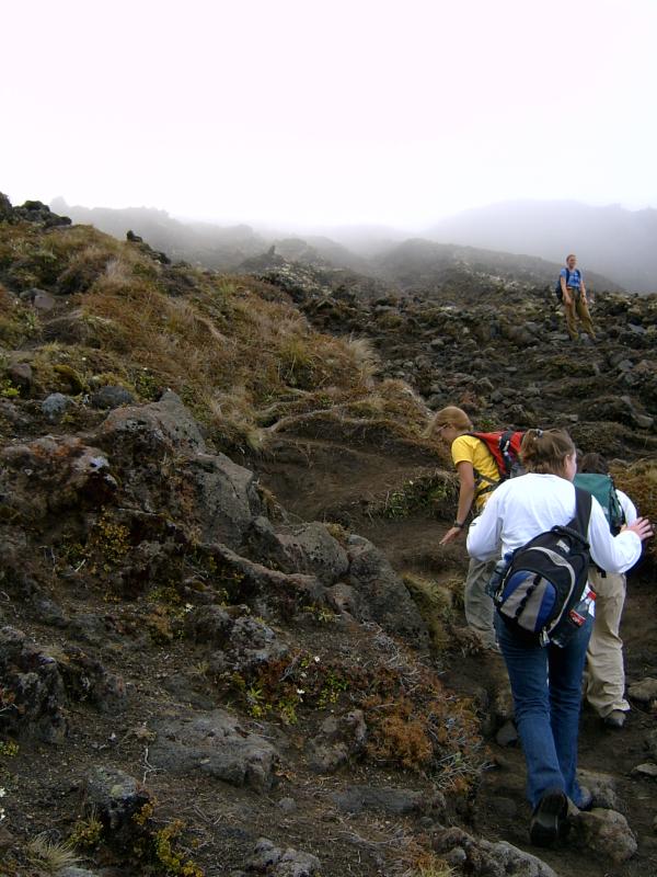
Rugged trail. Note people above on switchback. We're climbing the face of another flow.
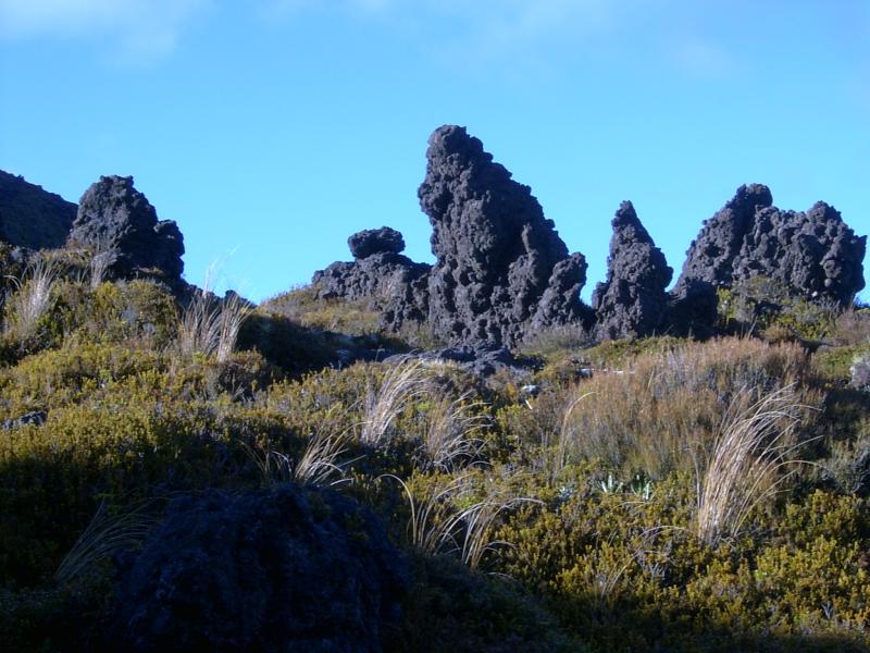
Weird erosional formations.
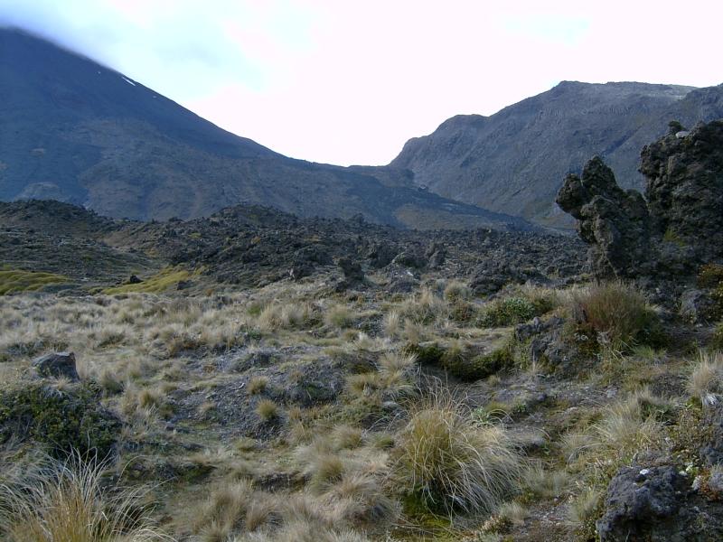
View east. Nguaruhoe's flank slopes steeply in left background. Irregular dark patches on slopes are lava flows. We're standing on the top of a flow.
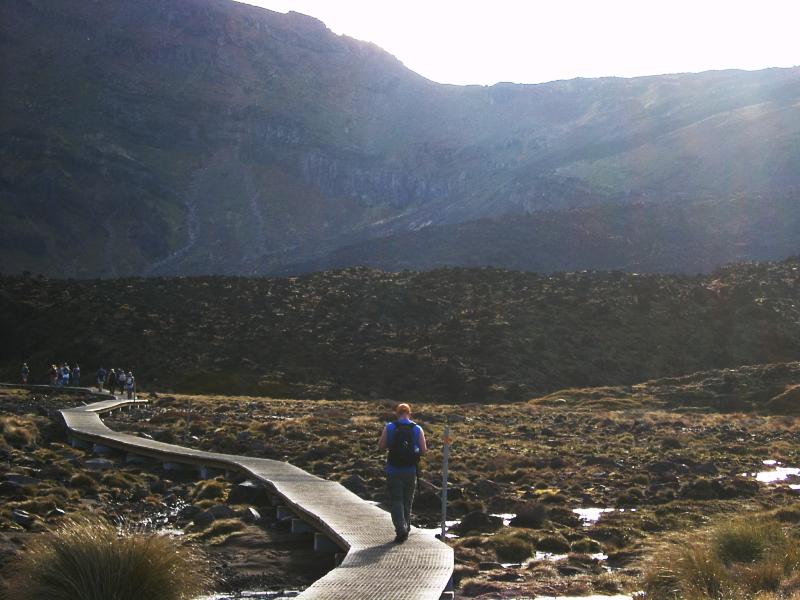
Joe's on the boardwalk, heading towards yet another flow, visible in midground. We'll be climbing the Devil's Staircase, the steep wall in the background.
We've begun the longest and steepest stretch of the trail.
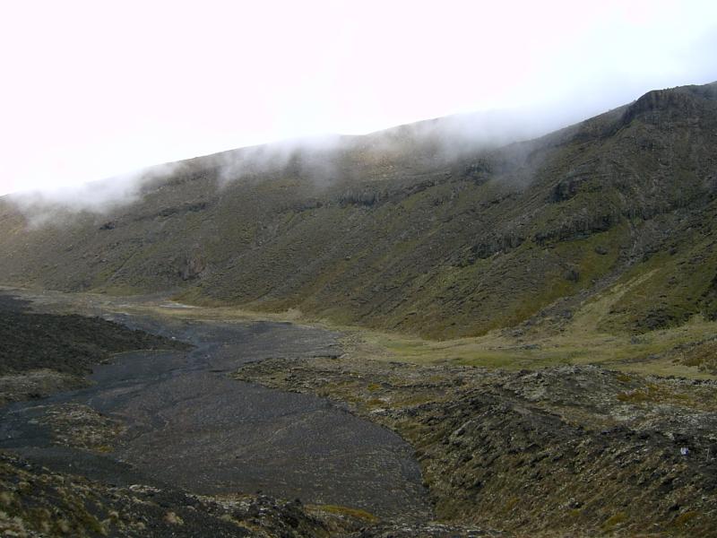
View from above back down Mangatepopo valley. Irregular black forms on valley floor are the lava flows we walked up and across. Note angled lava flows in opposite valley walls. Conveying scale here is difficult, but people on the floor below are too small to see from here.
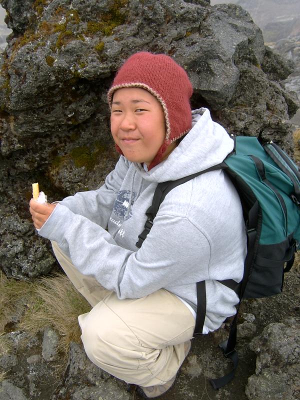
At the top (of this section, anyway), we sheltered behind boulders from the freezing, misty, wind. We also snacked.