 Lady Elliot Island is a 100-acre coral cay on the southern tip of the Great
Barrier Reef. It lies just within the southern boundary of the designated
World Heritage area in this map of the Great Barrier Reef:
Lady Elliot Island is a 100-acre coral cay on the southern tip of the Great
Barrier Reef. It lies just within the southern boundary of the designated
World Heritage area in this map of the Great Barrier Reef: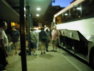 LADY ELLIOT ISLAND: The third extended field trip was to
Lady Elliot Island. The day started early, loading the bus at 5:00 am.
LADY ELLIOT ISLAND: The third extended field trip was to
Lady Elliot Island. The day started early, loading the bus at 5:00 am.
Lady Elliot Island is a 100-acre coral cay on the southern tip of the Great
Barrier Reef. It lies just within the southern boundary of the designated
World Heritage area in this map of the Great Barrier Reef:
Map of Australia showing the location of Lady Elliot Island. Source: Ranger Rick
Volume 28, No.9, P.45. Map by Jeffrey Hutman.

 After taking and early morning bus from Brisbane north up the coast
to Bundaberg, we boarded 15 seat planes for the 40 minute flight to
Lady Elliot Island.
After taking and early morning bus from Brisbane north up the coast
to Bundaberg, we boarded 15 seat planes for the 40 minute flight to
Lady Elliot Island.
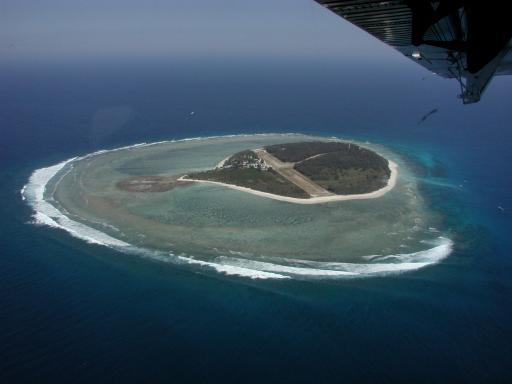 Lady Elliot Island is the only coral cay in the Great Barrier Reef
with its own airstrip. The airstrip
runs the entire diameter of the island (and gave our plane at least 20
meters leeway on landing). Lady Elliot is fringed on all sides by coral.
Lady Elliot Island is the only coral cay in the Great Barrier Reef
with its own airstrip. The airstrip
runs the entire diameter of the island (and gave our plane at least 20
meters leeway on landing). Lady Elliot is fringed on all sides by coral.
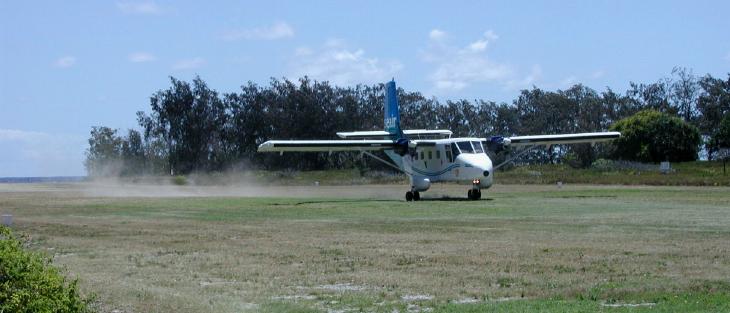
The runway seems too short at this point.
 Safely on the ground.
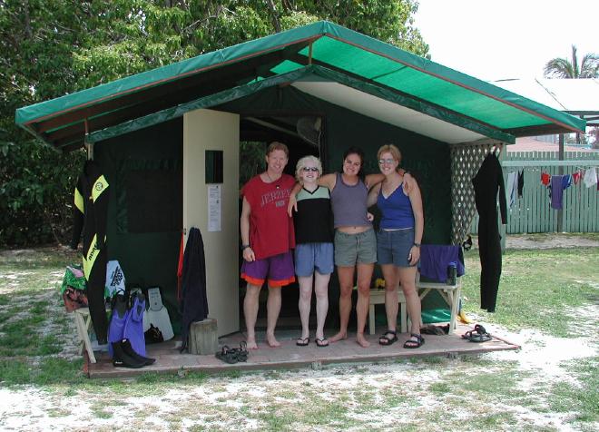 Home for five days: Tent cabin accomodations.
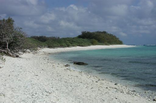 Why we went: A coral beach on LEI.