 Shut down for the winter season on 11-4-08. It should be redeployed mid-March to early April.
 Shut down for the winter season on 11-4-08. It should be redeployed mid-March to early April.
Change your bookmarks and web browsers, the buoy data are now on a new interactive website:
http://fli-data.hws.edu/clarkpt
This site is no longer recieving data.
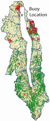
Seneca
Lake
Water Quality Buoy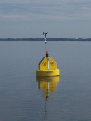
|
Specifications
|
Location
|
Data from Previous Years